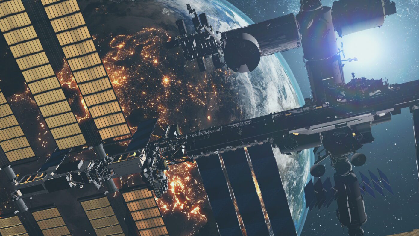
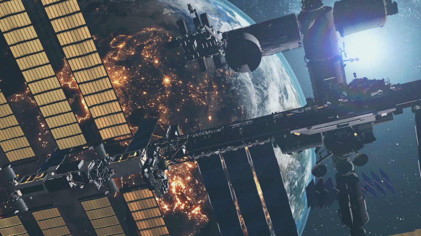
In addition to the well-known GPS system, there are other satellite systems for positioning . It is possible to use a combination of different systems for accurate navigation. This has the advantage that further information can be received. This makes it possible to determine the position more precisely and the location is faster and more precise. The QZSS system is also called the Mitchibiki system in Japan. Mitchibiki means something like “guidance” in Japanese. The system should not only be compatible with signals from the GPS system, its own satellites should work in combination with Galileo and GNSS , but it can also be used on its own.
How QZSS works using satellites in orbit
The satellites are in a geosynchronous orbit , whereby one of the four satellites is above Japan for up to eight hours , which creates voice channels even in narrow urban canyons. They send various signals, including an experimental signal with a higher data rate called LEX, which transmits on the same frequency as the Galileo system. The space segment will be equipped with experimental equipment and will send equivalent signals to modern GPS, ensuring interoperability between the systems.
Development and origin in Japan
In 2008, the system design review , also known as the critical design review, was completed, so the first satellite QZS-1 could be produced and tested. The system was launched with the first satellite in 2010, the Japanese QZSS now includes four satellites, and the second satellite was sent into orbit in 2017. At the end of 2017 there were already three. The system is being set up gradually according to government decree; in Japan, QZSS is considered a joint project between public institutions and private companies. The Japanese space agency is integrating various research institutes into the process of development and growth of the system, which, together with GPS, is intended to enable precise positioning in many areas .

Difference from GPS and GNSS
Unlike GPS, GNSS or other services, QZSS only has four satellites. It is therefore essential that the signals from other systems are included. Due to the special satellite constellation, QZSS in Japan also delivers a good signal in mountainous areas, which is often distorted by GPS, for example.
Improved accessibility increases the accuracy and reliability of GPS . A special feature is the combination of positioning and communication and the associated improvement of the mobile communications system . Users benefit from increased performance of their receiving devices such as cell phones or navigation systems in vehicles.
Areas of application of QZSS
QZSS is used in many everyday things, such as transmitting messages and providing additional GPS signals so that exact location is possible. The system is also used in cars and provides navigation data for use in vehicles. In an emergency, users are directly connected to a control center, which can determine the position and rush to help.
In addition, location-based services are provided, comparable to the LBS system. Based on the user’s location, he receives tailored services and offers for locations and places in his area. He receives information about nearby leisure activities and sights that he can use if he wishes.


